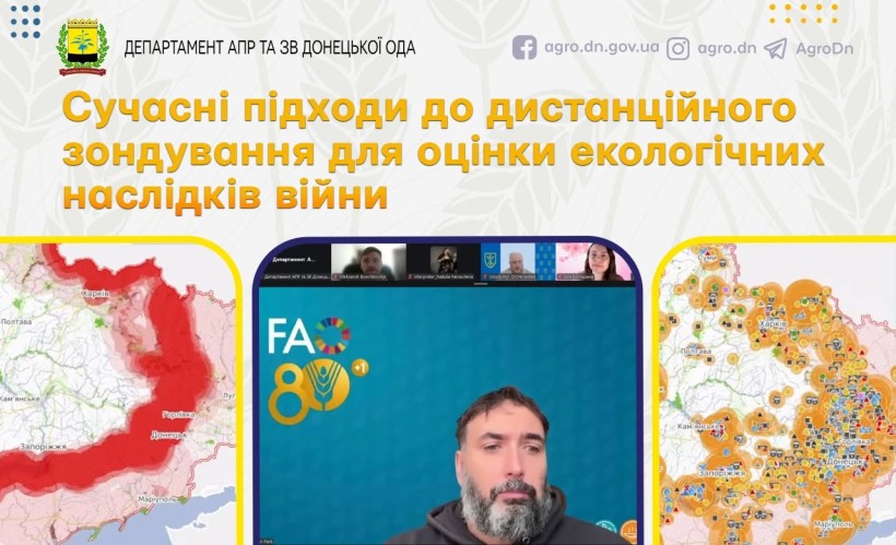
Coordinated by the Ministry of Economy and with technical support from FAO Ukraine, the Ukrainian Soil Pollution Working Group (USPWG) held an online scientific session focused on the use of remote sensing technologies to assess the environmental impacts of the war.
The session brought together scientists, representatives of government agencies, international organizations, and experts, who discussed modern tools for assessing land contamination, ecosystem degradation, and environmental restoration.
During the meeting, the results of scientific research on monitoring the use of agricultural land in potentially contaminated areas of Ukraine were presented.
Particular attention was paid to:
🔸 physical disturbances to the soil cover resulting from combat operations;
🔸 the classification of war-induced soil contamination based on the type of military impact;
🔸 the use of remote sensing to assess damage to the soil cover;
🔸 the economic aspects of post-war agricultural land restoration;
🔸 research on soil contamination by heavy metals.
They also presented the Ecodozor information and analytical platform, which provides spatial analysis of the environmental impacts of the war. The system integrates data on nature reserves, infrastructure facilities, fire hotspots, potentially contaminated areas, and other environmental risks, enabling rapid assessment of the state of the environment and supporting management decision-making. You can explore the platform at https://www.ecodozor.org/
Holding such scientific sessions helps bring together Ukrainian and international experts, advance modern methods of environmental monitoring, and implement geoinformation technologies to assess the war’s impact on the environment.